Camel Falls, Idaho, Owyhee Mountains
Our Scout troop, Troop 100 did a great spring backpack to a desert waterfall (dry) and we got to see some wildlife and wildflowers. The hike was to Camel Falls, a 2.5 mile hike in the Owyhee mountains. There was no trail, and the route was full of rocks, but nobody twisted an ankle. We camped above at the top of the waterfall.
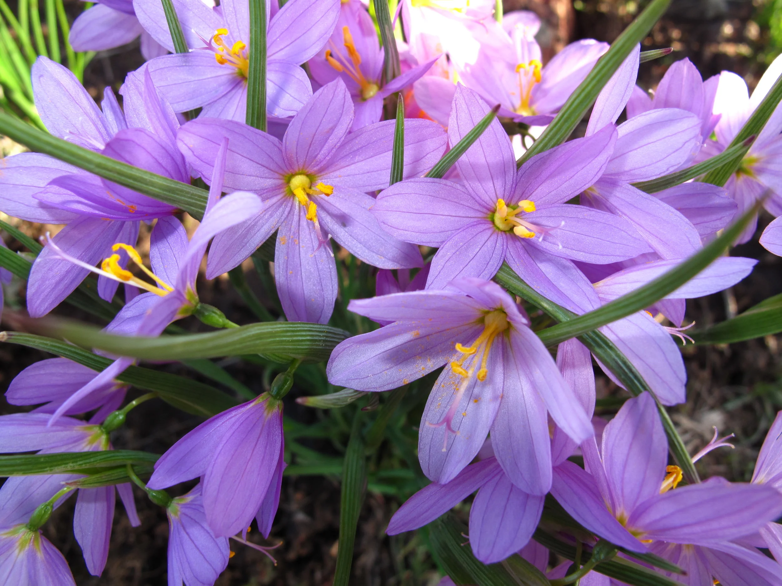
We saw lots of Idaho Blue Eyed Grass, Sysyrinchium idahoens, a great shot by Tom.
Saturday we split into groups, with each group assigned a cross country route to landmarks such as springs and buutes, The routes were about 5-7 miles each, and it was all cross country over rocky country. This view is in the vicinity of our camp on the cliff above the falls.

On our route we saw two other groups from a distance, and signaled them with the mirrors in our compasses, which Tomio is doing in the picture below.

Camel Falls
Every route also required a lot of cross country travel. It was a great time of year to be in this desert country, because the springs we sought out had water in them, and wildflowers were everywhere. Here Todd and Luke check the GPS to find their position on the map.
After the hike, everybody was exhausted, even Ginger the dog.

Camel Falls
Below, Sam and Connor seem to have the attention of the younger scouts back at camp.

Camel Falls
This is a nice view of the small stream that flows out of the lake below Camel Falls, a nice shot by Tom B.

Camel Falls Directions
Boise to Grand View
Highway 78 to MudFlat Road
Travel Mudflat Rd to past Bennett Reservoir, park on dirt road on left of road, past Bennett Reservoir parking at 42 34 58.06N, 116 37 21.25W
Hike past Bullhead reservoir, to top of plain
Follow road a short distance, ¼ mile, then take compass bearing and head cross country straight for Camel Falls position
Camel Falls is at 42 32 57.57 N, 116 36 23.26 W
Camp on plain overlooking the falls.
